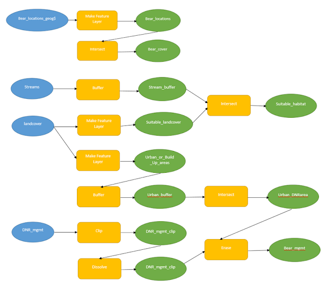
Methods:
I started the process
using the Select by Attributes in the WI_Counties layer to creak a feature
layer of the 3 counties of study area. From there I used ArcGIS Online to get
US Rivers and Streams. Minimized the area by narrowing it down to Wisconsin
Rivers and Streams. I was then able to just get the Fox River when I created a
layer from the selected attributes. I used a query again to Select by
Attributes to get Lake Winnebago, Lake Butte des Mortes, and Lake Poygan. I
included all three of the lakes to make the map more aesthetically pleasing and
the lakes also connect the two halves of the Fox River.
After, I downloaded the
data from Geospatial Data Gateway to get National Landcover Dataset. Then I
used the reclassify tool to reclassify the tiff to only Cultivated Crops. From
there, I dissolved County Study Area so I could raster clip the Cultivated
Crops to fit Study Area. I had to convert data from Raster to vector data so I could
work with it in the map. I used Select by attributes to select all of the land
that was not part of the cultivated crops (agriculture). Then I erased the
non-Agriculture land from the Landover to only get Agriculture left in its own
shapefile.
The next step included
creating a multiple ring buffer around the Fox River. The intersect tool was
used to put the multiple ring buffer only in the mix of land with agriculture. Erase
the non-Ag land that was in the buffer. So the three rings were only shown in
land that had crops.
In new data frame, WI
counties and Study Area was added to act as a reference map for where the study
area counties were located in Wisconsin.
Results:
The results of this map showed three buffer rings around the Fox River. The first one being 1.2 miles, second is 2.4 miles, and the third is 3.6 miles away from the River. The Buffer was intersected only with the Agriculture area to focus on what particular farmland was most susceptible to pollution. The first blue ring is agriculture land that produces high pollution for the river, the second pink ring is moderately hazardous, and the orange outer ring his low pollution risk to the river.
Sources:
Price Marbeth, 2016, Mastering ArcGIS, 7th Edition Data
Geospatial Data Gateway. (2016). National
Landcover Dataset for Wisconsin.


